
Area code(s) +53-7 Province Havana | Time zone EST (UTC-5) Area 35 km² | |
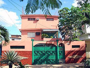 | ||
Playa is one of the 15 municipalities or boroughs (municipios in Spanish) in the city of Havana, Cuba. The word playa means "beach" or seaside in Spanish.
Contents
Map of Playa, Cuba
Geography
It is the most north-western of the municipios. It stretches from the Almendares River in the east, to Santa Fe in the west. On the north is the sea.
It includes the upmarket district of Miramar and the former fishing village of Jaimanitas. Other districts include Flores, Nautico, Siboney, Kohly and Buena Vista - home of the original Buena Vista Social Club.
Education
Post-secondary institutions include:
Primary and secondary schools include:
References
Playa, Havana Wikipedia(Text) CC BY-SA