
Length 45 km | ||
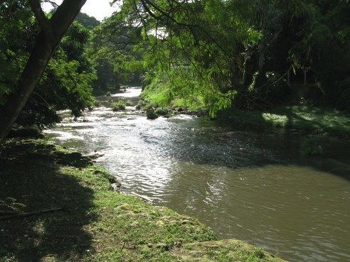 | ||
The Almendares River is a 45 km river in the western part of Cuba. It originates from the east of Tapaste and flows north-west into the Straits of Florida. The river acts as a water supply for Havana.
Map of River Almendares, Havana, Cuba
The final stretch divides the municipalities of Plaza de la Revolución (Miramar district) and Playa (Vedado district). Part of the river valley forms the Almendares Park or Metropolitan Park of Havana (PMH), a few kilometers upstream from the ocean.
Several industrial plants line the river banks (paper mills, gas production plants, breweries, food production plants, construction plants).
One of the three major projects by the Havana authorities is to continue the rehabilitation of the PMH (the other two being the restoration of the Old Town and the depollution of the Havana Bay): monitor and control water pollution, reduce and rationalize industrial occupation, maintain the old trees and the vegetation in the park. The area is gradually becoming a green oasis with playground, a few restaurants, foot paths.