
Catchment area 1,109 km (428 sq mi) Surface area 38.4 km (14.8 sq mi) Surface elevation 62 m | Primary inflows Area 38.4 km² Mean depth 6.8 m Primary outflow Elde | |
 | ||
Primary outflows Müritz–Elde–Wasserstraße | ||
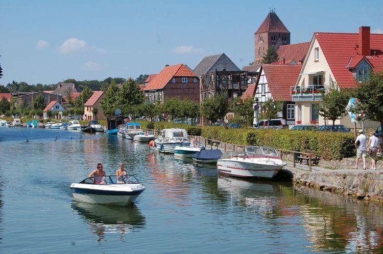
Plauer See (German, literally Lake of/near Plau)) is a lake in Mecklenburg-Vorpommern, Germany, located at 53°27′57″N 12°18′27″E. Its surface is approximately 38.4 km² and its maximum depth is 25.5 metres (84 ft).
Map of Plauer See, Germany
References
Plauer See (Mecklenburg-Vorpommern) Wikipedia(Text) CC BY-SA