
Country United States GNIS feature ID 0766228 Area 147.8 km² Population 426 (2010) | FIPS code 29-58106 Elevation 294 m Local time Tuesday 9:45 AM | |
 | ||
Weather 9°C, Wind NE at 26 km/h, 45% Humidity | ||
Platte Township is one of ten townships in Andrew County, Missouri, United States. As of the 2010 census, its population was 426.
Contents
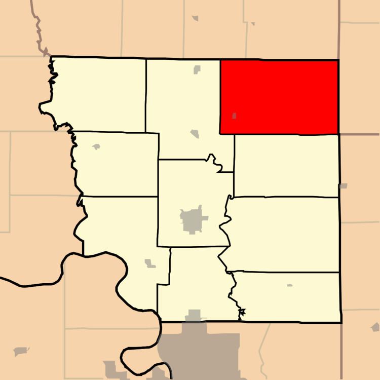
Map of Platte Township, MO, USA
Platte Township was established in 1846, and named after the Platte River.
Geography
Platte Township covers an area of 57.07 square miles (147.8 km2) and contains one incorporated settlement, Rea.
The streams of Clear Creek and Hickory Creek run through this township.
Transportation
Platte Township contains two airports: Fairbanks Airport and Hannah Airport.
References
Platte Township, Andrew County, Missouri Wikipedia(Text) CC BY-SA