Age of rock Holocene Elevation 2,183 m | Mountain type Volcano | |
 | ||
Similar Cuilapa‑Barbarena, Moyuta, Volcán Azul, Orosí Volcano, Laguna de Aramuaca | ||
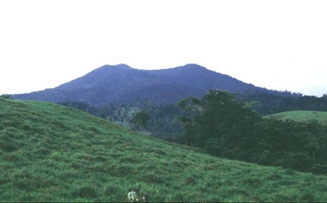
Platanar is a volcanic centre in the Cordillera Central (Costa Rica). This complex covers 900 square kilometres (220,000 acres) and is dominated by Porvenir Volcano at 2,267 m (7,438 ft), whose summit crater lies 3 km south of Platanar. Cerro Platanar (also known as Volcán Congo) with a peak elevation of 2,183 m (7,162 ft) has a destroyed crater to the northwest. Prehistoric lava flows on its western flank; one of them, the so-called Florida flow, was perhaps created by Platanar's most recent activity. Cerro Porvenir has a truncated caldera at the summit with a cone inside. Both of these are part of a composed stratovolcano of Upper Pleistocene age that on Platanar's side overlies the remains of Palmera's collapsed caldera, of probable late Pleistocene age. Platanar has erupted lavas ranging from basalts to andesites in composition.
Contents
Map of Platanar, Alajuela Province, San Carlos, Costa Rica
The western flanks of both volcanoes are used for dairy farming. In 1968 2,500 hectares (6,200 acres) on Cerro Platanar were converted into a National Forest.
El platanar
Recent activity
On 30 March 1997 there were six earthquakes on the south flank, the strongest being of magnitude 2.7. A previous seismic swarm in April 1980 had lasted for 2–3 weeks.
