
Local time Tuesday 4:47 AM | Population 1,117 (2010) | |
 | ||
Weather 16°C, Wind N at 5 km/h, 82% Humidity Area 6.915 km² (6.889 km² Land / 3 ha Water) | ||
Plano is a CDP in Warren County, Kentucky, United States. The population at the 2010 census was 1,117. The elevation is 610 feet.
Contents
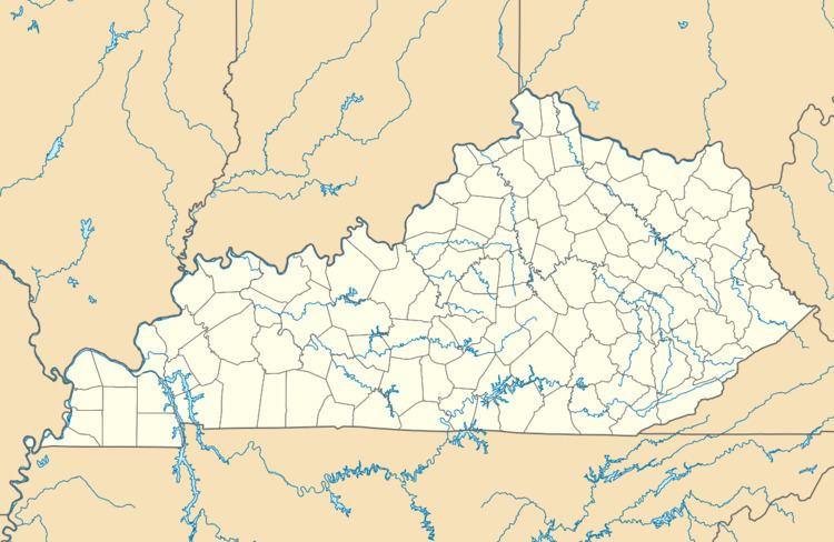
Map of Plano, Kentucky 42104, USA
Geography
Plano is located at coordinates 36°52'40"N 86°24'58"W. According to the United States Census Bureau, Plano has a total area of 2.67 km² of which 2.66 km² is land and (0.39%) 0.01 km² is water.
Demographics
According to the 2010 census, there were 1,117 people living in Plano. The population density was 417.9 hab./km². Of the 1,117 people, Plano was composed of 94.09% White, 3.04% African American, 0% Native American, 0.9% Asian, 0% Pacific Islander, 0.81% were other races, and 1.16% of two or more races. 1.61% are Hispanic or Latino of any race.
References
Plano, Kentucky Wikipedia(Text) CC BY-SA