
Lowest elevation 2 m (7 ft) Postal code 602 00 Municipality Dio-Olympos | Highest elevation 25 m (82 ft) Time zone EET (UTC+2) Area code(s) +30-2352-xxx-xxx | |
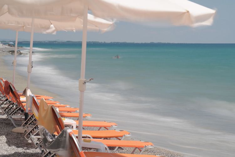 | ||
Plaka (Greek: Πλάκα) is a settlement of the Dio-Olympos municipality. Before the 2011 local government reform it was part of the municipality of Litochoro. The 2011 census recorded 192 inhabitants in the village. Plaka is a part of the community of Litochoro.
Map of Plaka 600 63, Greece
References
Plaka, Pieria Wikipedia(Text) CC BY-SA