
Constituted October 31, 1900 Postal code(s) J0V 1S0 Area 50.2 km² Population 1,103 (2011) Local time Tuesday 2:52 AM | Time zone EST (UTC−5) Province Québec Area code Area codes 819 and 873 | |
 | ||
Weather 1°C, Wind SW at 3 km/h, 88% Humidity | ||
Plaisance is a municipality in Papineau Regional County Municipality in western Quebec, Canada. The village is situated on the Ottawa River near the mouth of the Petite-Nation River, 70 km from Gatineau and 160 km from Montreal on Route 148.
Contents
Map of Plaisance, QC, Canada
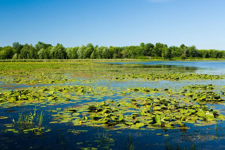
The village is well known for its waterfalls located just north of town as well as a local cheese factory which was previously quite popular in the Outaouais region. There is also the Plaisance National Park, a large bird reserve between the main highway and the Ottawa River.
Demographics
Population trend:
Private dwellings (occupied by usual residents): 471
Languages:
According to the Canada 2001 Census:
References
Plaisance, Quebec Wikipedia(Text) CC BY-SA