
Population (2006) 1,854 Local time Tuesday 7:19 AM | Canton Fraize Area 38.56 km² | |
 | ||
Weather 8°C, Wind SW at 18 km/h, 82% Humidity Points of interest Gazon du Faing, Col du Bonhomme, Réserve naturelle nationale, Cascade du Rudlin | ||
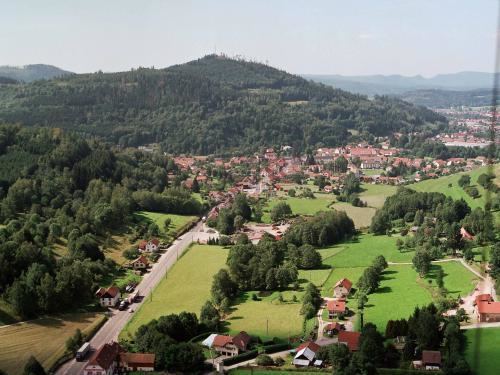
Plainfaing is a commune in the Vosges department in Grand Est in northeastern France.
Contents
Map of 88230 Plainfaing, France
Geography
The commune is positioned in the east of the department, at the foot of the 949 meter high Bonhomme Pass (Col du Bonhomme), between Saint-Dié-des-Vosges (17 km / 11 Mi) to the west and Colmar (41 km / 26 Mi) in neighbouring Alsace to the east. The Meurthe River rises in the nearby commune of Le Valtin and crosses Plainfaing from the south, and is joined by the stream from the Chaume valley. A designated natural reserve of half a square kilometre is shared between Valtin and Plainfaing, and includes the peaks of the Tanet and the Gazon of the Faing.
Born in Plainfaing
References
Plainfaing Wikipedia(Text) CC BY-SA