
Country Thailand Time zone ICT (UTC+7) Geocode 8106 Population 35,434 (2005) | Seat Plai Phraya Postal code 81160 Area 433.4 km² Province Krabi Province | |
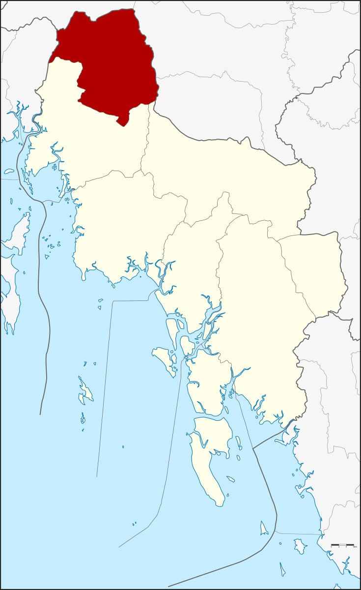 | ||
Plai Phraya (Thai: ปลายพระยา) is a district (amphoe) in Krabi Province, Thailand.
Contents
Map of Plai Phraya District, Krabi, Thailand
Geography
Neighboring districts are (from the north clockwise) Phanom, Phrasaeng, Chai Buri (all Surat Thani Province), Khao Phanom and Ao Luek of Krabi Province, and Thap Put of Phang Nga Province.
Khlong Phraya Wildlife Sanctuary is on Surat Thani Province boundary.
History
The minor district (king amphoe) Plai Phraya was created on 15 June 1973, when the three tambon, Plai Phraya, Khao Khen, and Khao To were split off from Ao Luek District. It was upgraded to a full district on 12 April 1977.
Administration
The district is divided into four sub-districts (tambon), which are further subdivided into 33 villages (muban). Plai Phraya has township (thesaban tambon) status, covering parts of tambon Plai Phraya. Each of the tambon is administrated by a tambon administrative organization (TAO).