
Country Founded 1861 | Area 601 km2 | |
 | ||
Map of Placetas
Placetas ([plaˈsetas]) is a city in the Villa Clara Province in the center of Cuba; before the change in the country's government in 1959 the province was called Las Villas. The town is also known as La Villa de los Laureles because of its wild laurel trees. Placetas is also a municipio, one of 13 subdivisions of the Villa Clara Province. Cuba's geographical center, Guaracabulla, is located in this municipality.
Contents
- Map of Placetas
- 1st baptist church placetas villa clara cuba october 2014
- Placetas villa clara cuba 2014
- History
- Geography
- Demographics
- Economy
- Architecture
- Notable people
- References
1st baptist church placetas villa clara cuba october 2014
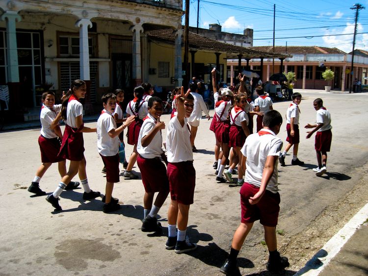
Placetas villa clara cuba 2014
History
Placetas was founded on September 9, 1861 mainly due to the sugar production industry. Nowadays, the main produce of the area is tobacco. The main contribution to its foundation came from Jose Martinez-Fortun y Erles, a Spanish Marques and former colonel in the Spanish Army. The town is located on the Carretera Central road, which cuts through the town. The town's position on this road has allowed it to serve as a stop for many travellers. Placetas has grown considerably over the years, being declared a town in 1881 and a city in 1925. In 1879 it was established as its own municipality. Placetas is also known by the great carnavals which take place in July and Christmas and New Year's Eve.
Geography
Close towns include Zulueta (to the north), Remedios (to the northeast), Cabaiguán and Fomento (to the east), and Santa Clara and Camajuaní (to the west).
In common with other Cuban towns, the city of Placetas was originally divided in barrios. These were: Cabecera, Guaracabulla (or Guaracabuya), Hernando, Nazareno, San Andres Sitio Potrero and Tibisial. Annual celebrations displaying the local pride of each barrio used to take place until the 1990s, when the government stopped them.
Springs of Zaza river are located near the town; it runs from the outskirts of Placets to the sea. The river Zaza is currently an environmental preservation area.
Demographics
In 2004, the municipality of Placetas had a population of 71,837. With a total area of 601 km2 (232 sq mi), it has a population density of 119.5/km2 (310/sq mi). The city proper has a population of 42,000.
Economy
The area is primarily a sugar producing region, with three "centrales" sugar producing factories. Placetas also has mayor railroad industries that operate from its area. Many Placetenos have emigrated to other countries and there are around 2300 people from Placetas residing in the United States, most of them in Miami. This contributes to the high amount of comunitarios that travel to Placetas every month from the United States. Nowadays the town also houses many aluminum factories and is known around Cuba as the capital of aluminum because of the export business. One of the main streets in Placetas is the Primera del Oeste street, because is the corner where Cuba's central road and the Parque Casallas meet and because it houses the popular Rumbos, one of the many touristic places recently opened. This street also houses the underground commerce and business of the town. It is referred to by Placetenos as La Calle 8 de Placetas, in reference to 8th St. in Miami.
Architecture
The main Catholic church in the town is called San Atanasio de Placetas, after the town's patron saint. As of 1996, it had one library, a main post office, three middle-high schools (13 de Marzo, Rodolfo Leon Perlacia and Julio Antonio Mella), one police station and many recreational areas. Most of the town's structures were built before the communist government of Fidel Castro, and little of the town has been renovated since 1959.