
Airport type Public 5/23 4,201 1,280 Asphalt Code PVF | Elevation AMSL 2,585 ft / 788 m 4,201 1,280 Elevation 788 m Phone +1 530-622-0459 | |
 | ||
Address 3501 Airport Rd #1, Placerville, CA 95667, USA Owner El Dorado County, California | ||
Take off from placerville airport
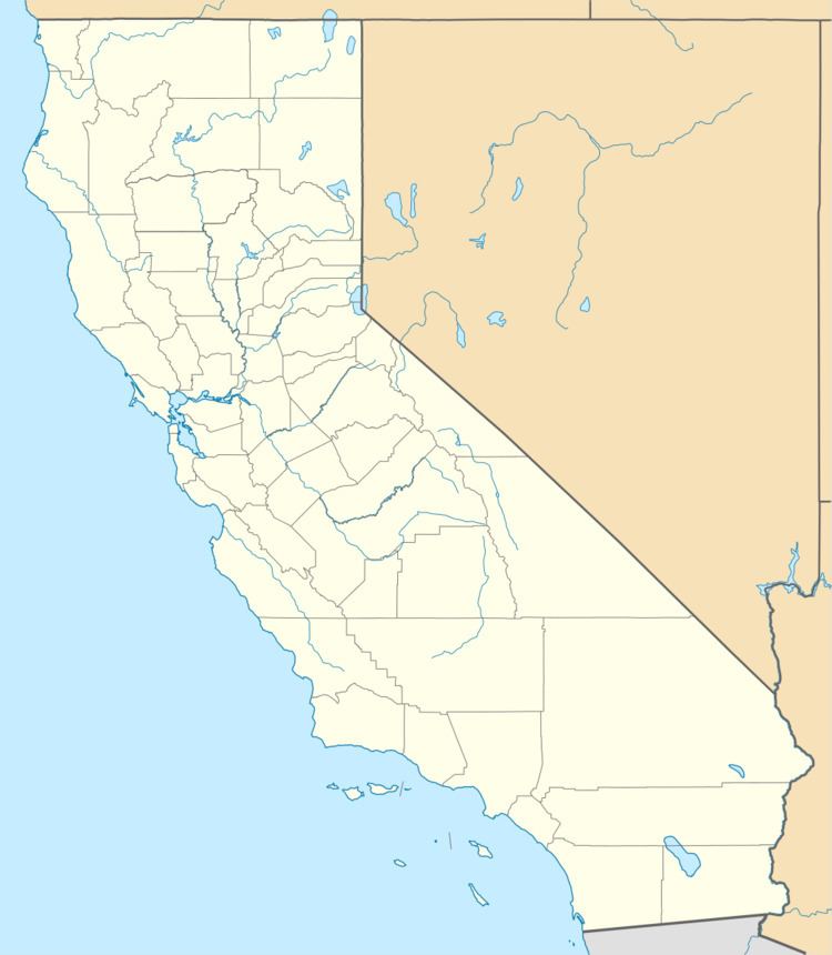
Placerville Airport (IATA: PVF, ICAO: KPVF, FAA LID: PVF) is a county-owned public-use airport located three nautical miles (6 km) east of the central business district of Placerville, in El Dorado County, California, United States. This airport is included in the National Plan of Integrated Airport Systems for 2011–2015, which categorized it as a general aviation airport.
Contents
There are no scheduled passenger services departing from the airport. The runway is long enough to accommodate medium turboprop aircraft, such as the Pilatus PC-12 and is even home to a T-28 Trojan.
Placerville airport landing 152
Facilities and aircraft
Placerville Airport covers an area of 243 acres (98 ha) at an elevation of 2,585 feet (788 m) above mean sea level. It has one asphalt paved runway designated 5/23 which measures 4,201 by 75 feet (1,280 x 23 m). It also has and one helipad designated H1 with a concrete surface measuring 50 by 50 feet (15 x 15 m).
For the 12-month period ending April 30, 2010, the airport had 66,000 aircraft operations, an average of 180 per day: 97% general aviation, 1.5% air taxi, and 1.5% military. At that time there were 138 aircraft based at this airport: 96% single-engine, 2% multi-engine, 1% helicopter, and 1% ultralight.