
Elevation 1,237 m | Topo map USGS Newland Mountain range Blue Ridge Mountains | |
 | ||
Similar Bee Mountain, Flattop Mountain, Peak Mountain, Grandmother Mountain, Chestnut Mountain | ||
The wonder revolution pixie mountain
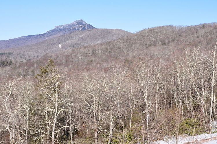
Pixie Mountain is a mountain in the North Carolina High Country, in the community of Linville. Its elevation reaches 4,058 feet (1,237 m). The mountain is adjacent to the Linville River.
Contents
Map of Pixie Mountain, Linville, NC 28646, USA
The Linville Bypass (NC Hwy 181) goes around Pixie Mountain on its western side; while the majority of the Linville community is on its East and North. However, most people are blissfully unaware of the mountain's name since no signs and maps mention it.
References
Pixie Mountain Wikipedia(Text) CC BY-SA