
Dates of operation 1899–1916 | Successor None Length 40,234 m | |
 | ||
Track gauge 4 ft 8 ⁄2 in (1,435 mm) standard gauge Locale Westland County, Pennsylvania, Somerset County, Pennsylvania | ||
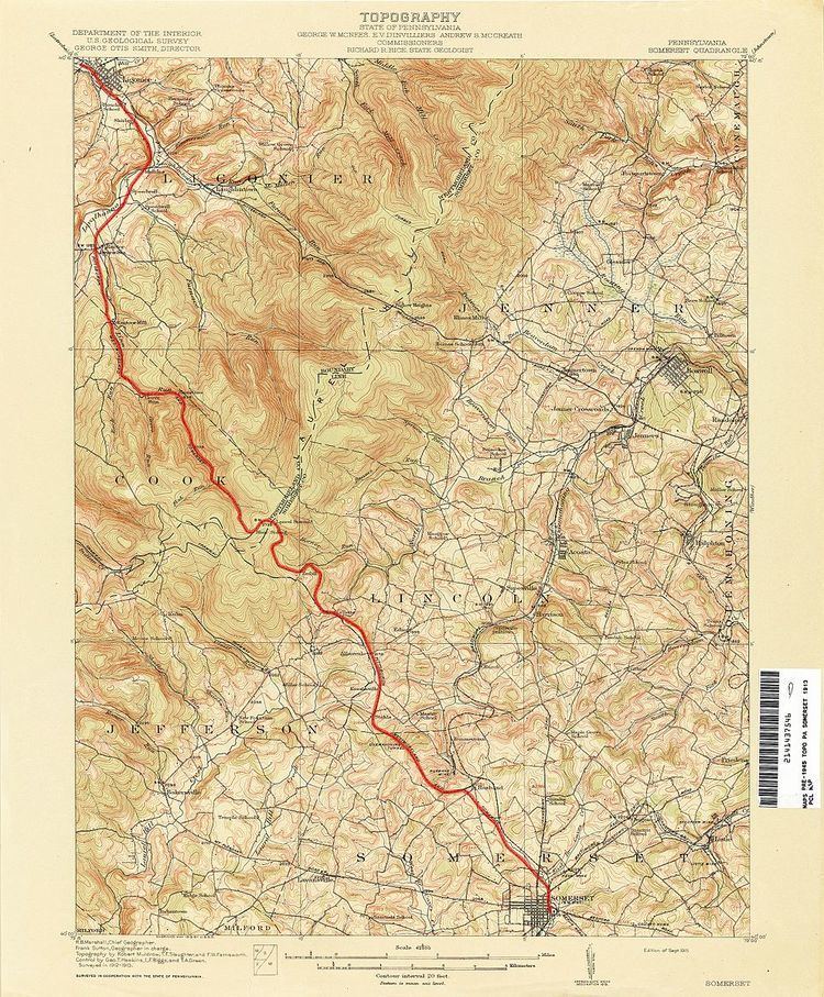
The Pittsburgh, Westmoreland, & Somerset Railroad (PW&S) was a short-lived railroad that connected the Pennsylvania communities of Ligonier and Somerset, running over a mountain known as Laurel Hill or Laurel Mountain.
Contents
On occasion the railroad’s name was spelled as the Pittsburg, Westmoreland, & Somerset, using the older spelling of Pittsburgh without the h. Although Pittsburgh is in the railroad’s name, it never served that city. The word Westmoreland refers to Westmoreland County, where the town of Ligonier is located.
The railroad’s sole tunnel was the Quemahoning Tunnel, also known as the Lumber Railroad Tunnel, which had originally been built for the South Pennsylvania Railroad but had not been previously used.
Although the Pennsylvania Railroad did not control the PW&S, the Pennsylvania Railroad provided construction materials. The Pennsylvania Railroad regarded the PW&S as a feeder which would compete for customers against the Baltimore & Ohio Railroad, which had viewed Somerset County as a captive customer base. However, the operational difficulties of running trains over the steep gradients of Laurel Hill prevented the PW&S from being truly competitive against the Baltimore & Ohio.
The PW&S had a very short life. Although trains began operating on the western segment near Ligonier in 1899, the complete Ligonier-Somerset route operated for only ten years (1906–1916). Little remains of the PW&S, yet it had a lasting impact in developing the area southeast of Ligonier, near present-day Rector, as a summer cottage area for Pittsburgh's elite. Laurel Summit State Park, at the mountain's crest, first became popular as a recreational destination due to PW&S excursion trains.
History
Construction of the railroad actually began before it was chartered. Construction began at the western end on June 14, 1899 and it was chartered on July 20, 1899. On October 11, 1899, the right-of-way had been graded as far as Laurel Summit. Construction on the eastern segment of the railroad proceeded slowly, and it was not until May 26, 1906, that the first train traveled from Ligonier to Somerset. For passenger trains, the eastbound journey was scheduled to take 90 minutes, averaging 17 miles per hour (27 km/h) including stops. The westbound journey took ten minutes longer due to arduous uphill gradients, averaging 15 miles per hour (24 km/h) including stops. Schedules show that there were two passenger trains per day in each direction, originally consisting of two passenger coaches added to logging trains. There were also excursion trains to various points between Ligonier and Laurel Summit that were not listed in public timetables.
Andrew W. Mellon and Richard B. Mellon, whose family founded the Pittsburgh-based Mellon Bank, were instrumental in the funding of the P&WS. The Mellons also owned the Ligonier Valley Railroad, which linked the P&WS to the main line of the Pennsylvania Railroad. Also important in the railroad’s founding were Charles Nelson Byers and Lauros H. Allen, whose Byers-Allen Lumber Company owned much of the land traversed by the railroad.
The railroad served the Ligonier-Somerset route for only ten years. Both passenger and freight services ended on September 23, 1916. The major reason for closure was deforestation along the route due to logging, which was the railroad's original purpose. As with many railroads, the advent of the automobile made the passenger service obsolete.
Like many small railroads of that era, the PW&S was riven with fraudulent accounting practices. The Byers-Allen Lumber Company accounted for almost 90% of the railroad's operations and also shared top executives with the railroad, and as a result, the PW&S hauled the lumber company's freight for free. Because the financial statements showed no profits, bondholders were paid their interest in the form of new bonds, causing a pyramiding of the railroad's indebtedness. Due to these financial problems, employees would go as long as three months without pay despite working 100-hour weeks.
Route and Stations
Stations are listed from west to east. Distances shown are from Ligonier: