
 | ||
Pishtachev Peak (Bulgarian: Пищачев връх, ‘Pishtachev Vrah’ pi-'shta-chev 'vr&h) is the rocky, partly ice-free peak rising to 1300 m between Rozier Glacier and Blanchard Glacier on Danco Coast in Graham Land, Antarctica.
Contents
Map of Pishtachev Peak, Antarctica
The feature is named after the Bulgarian cartographer Toma Pishtachev (1876-1955).
Location
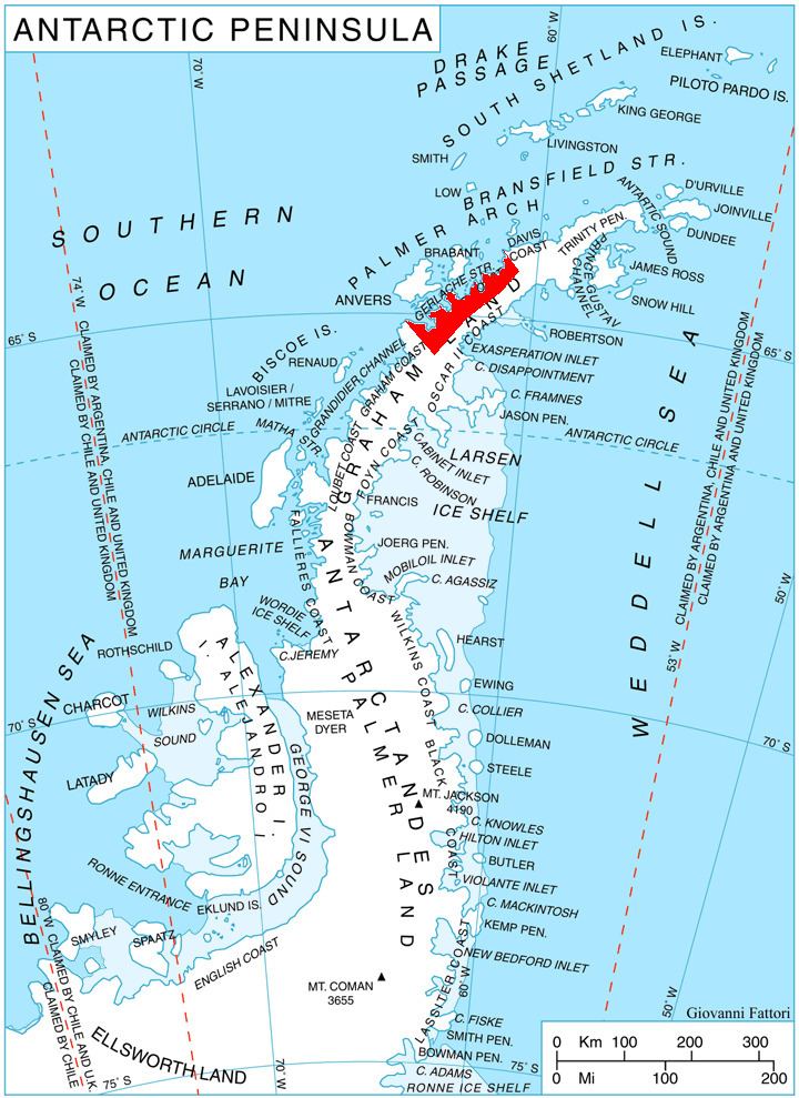
Pishtachev Peak is located at 64°44′00″S 62°06′27″W, which is 5.3 km east of Sophie Cliff, 5.67 km south-southeast of Garnerin Point, and 5.57 km southwest of Sadler Point. British mapping in 1980.
Maps
References
Pishtachev Peak Wikipedia(Text) CC BY-SA