
 | ||
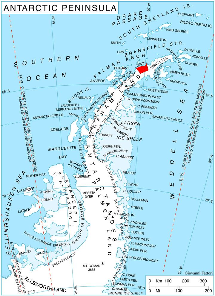
Pirin Glacier (Bulgarian: ледник Пирин, ‘Lednik Pirin’ \'led-nik 'pi-rin) is the 5.7 km long and 6 km wide glacier situated next east of Chavdar Peninsula on Davis Coast on the Antarctic Peninsula. Situated west of Wright Ice Piedmont, north of Gregory Glacier and east of Samodiva Glacier. Draining north-northwestwards from Boulton Peak to enter Curtiss Bay east of Seaplane Point.
Contents
Map of Pirin Glacier, Antarctica
The glacier is named after Pirin Mountain in southwestern Bulgaria.
Location
Pirin Glacier is located at 64°05′30″S 60°43′00″W. British mapping in 1978.
Maps
References
Pirin Glacier Wikipedia(Text) CC BY-SA