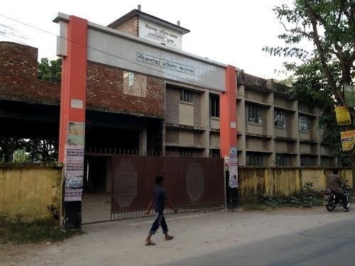
Country Bangladesh District Rangpur District Area 265.3 km² | Division Rangpur Division Time zone BST (UTC+6) | |
 | ||
Website Official Map of Pirgachha | ||
Pirgachha (Bengali: পীরগাছা) is an upazila of Rangpur District in the division of Rangpur, Bangladesh.
Contents
Map of Pirgachha Upazila, Bangladesh
Geography
Pirgachha is located at 25.5806°N 89.4000°E / 25.5806; 89.4000 . It has 52,432 households and total area 265.32 km². Tambulpur is one of the famous unions which is situated on the bank of River Burail. Pirgacha upazila is situated at the south-east corner of Rangpur town. Tambulpur is the largest union of Pirgachha Upazila. It is about 12 kilometers east–west and about 6 kilometers north–south. And Rahmatchar is the largest village under this union. It is situated at the very east side at River Tista which is the meeting points of Rangpur, Kurigram and Gaibandha Districts.
Demographics
As of the 1991 Bangladesh census, Pirgachha has a population of 256,573. Males constitute 50.59% of the population, and females 49.41%. This Upazila's eighteen up population is 125484. Pirgachha has an average literacy rate of 21.5% (7+ years), and the national average of 32.4% literate.
Administration
Pirgachha has 9 unions/wards, 171 mauzas/mahallas, and 189 villages. There are two colleges, two or three high schools and four Dakhil madrasha. Rahmatchar is one of the famous villages of this union. There are two primary schools, two madrasha in Rahmatchar. Dewanbari is the most famous in Rahmatchar even in the union.
