Country United States ZIP codes 46914, 46932, 46970 Elevation 231 m Local time Monday 6:59 AM | Organized 6 September 1843 GNIS feature ID 0453742 Area 66.28 km² Population 6,294 (2010) | |
 | ||
Weather 3°C, Wind E at 29 km/h, 93% Humidity University Summit Theological Seminary | ||
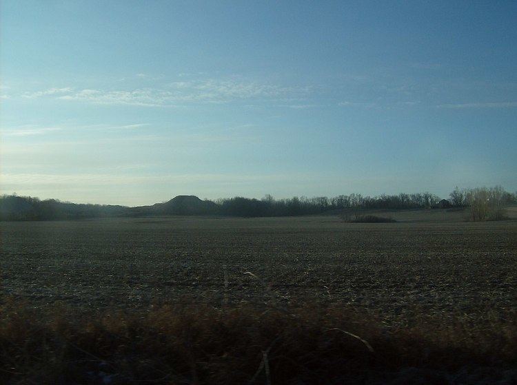
Pipe Creek Township is one of fourteen townships in Miami County, Indiana, United States. As of the 2010 census, its population was 6,294 and it contained 2,936 housing units. The north three-quarters of Grissom Joint Air Reserve Base is in the southwest corner of the township.
Contents
- Map of Pipe Creek Township IN USA
- History
- Geography
- Cities towns villages
- Unincorporated towns
- Cemeteries
- Major highways
- Airports and landing strips
- School districts
- Political districts
- References
Map of Pipe Creek Township, IN, USA
History
Pipe Creek Township was organized by the county commissioners on September 6, 1843, and named for its largest stream, Pipe Creek.
The B-17G "Flying Fortress" No. 44-83690 and Terrell Jacobs Circus Winter Quarters are listed on the National Register of Historic Places.
Geography
According to the 2010 census, the township has a total area of 25.59 square miles (66.3 km2), of which 25.33 square miles (65.6 km2) (or 98.98%) is land and 0.26 square miles (0.67 km2) (or 1.02%) is water.
Cities, towns, villages
Unincorporated towns
Cemeteries
The township contains these four cemeteries: Garnand, Leonda, Metzger and Springdale.
