
Vehicle registration GJ Local time Monday 4:27 PM | Time zone IST (UTC+5:30) | |
 | ||
Weather 33°C, Wind SE at 18 km/h, 34% Humidity | ||
A lioness with 4 cubs to walk out on the pipavav shipyard road unique video near gir forest gujarat
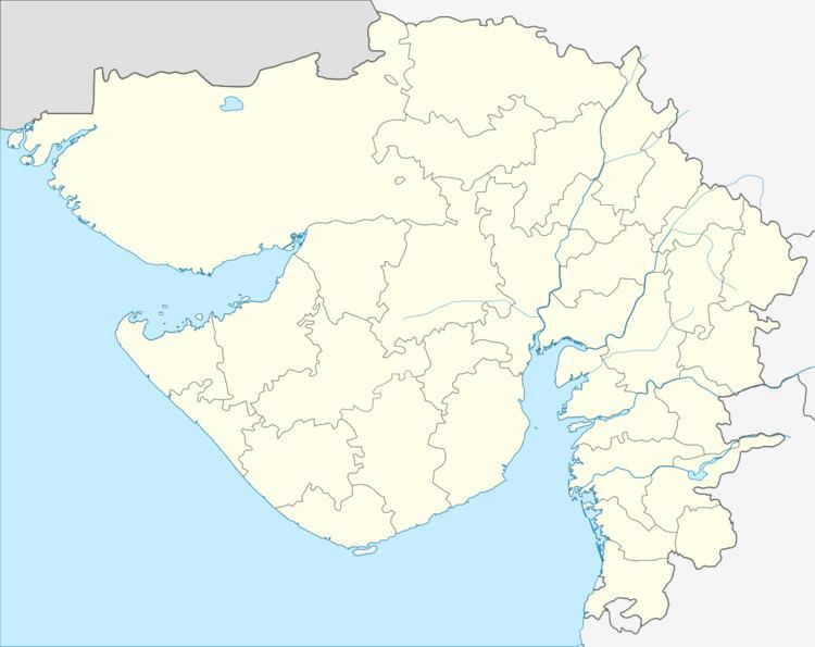
Pipavav is located at latitude 20°54'N and longitude 71°30'E on the coast of Gujarat, India. By road it is 2 hours (85 km) from Amreli, 30 minutes (20 km) from Rajula city, 2.5 hours (130 km) from Bhavnagar on the east and 1.5 hrs (89 km) from Diu in the west.
Contents
- A lioness with 4 cubs to walk out on the pipavav shipyard road unique video near gir forest gujarat
- Map of Pipavav Gujarat 365555
- History
- References
Map of Pipavav, Gujarat 365555
Pipavav is the name of village which is used while naming the name of Port Pipavav, the first private sector port in India ([1]).
The nearest town to Pipavav is Rajula City which is 22 km away.
History
The name 'Pipavav' has two parts, the name Pipa originates from the name of Saint Pipaji, who was a king from Rajasthan, left his kingdom in search of the eternity along with his queen Sitadevi. Vav in Gujarati refers to a well. Pipavav village is still having a well which was dug by Saint Pipaji. A temple of Radha and Krishna is in the village, there is a saying that the idols were obtained during the digging process of the well than.
Villagers mentions the importance of the place during the Mahabharata time, wherein Krishna, with Rukmini while going to Dwarks, halted in Pipavav. Preacher Moraribapu did a Ramkatha at Pipavav to collect fund for the development of Pipavav temple.