
Population (2008) 758 Local time Monday 11:00 AM | Canton Ahun Area 41.77 km² | |
 | ||
Intercommunality Carrefour des Quatre Provinces Weather 9°C, Wind W at 10 km/h, 88% Humidity | ||
Pionnat is a commune in the Creuse department in the Nouvelle-Aquitaine region in central France.
Contents
Map of 23140 Pionnat, France
Geography
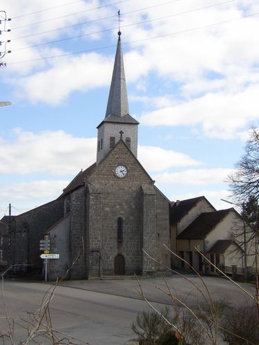
A farming area comprising the village and several hamlets situated by the banks of the Creuse River, some 8 miles (13 km) east of Guéret, at the junction of the D4, D65 and the D16.
History
During the French Revolution of 1848, some villagers were killed attempting to seek the release of their friends, imprisoned for tax evasion.
Sights
References
Pionnat Wikipedia(Text) CC BY-SA