
Sub-provincial city Harbin Area 98 km² Population 190,253 (2010) | Time zone China Standard (UTC+8) Local time Monday 1:05 PM Province Heilongjiang | |
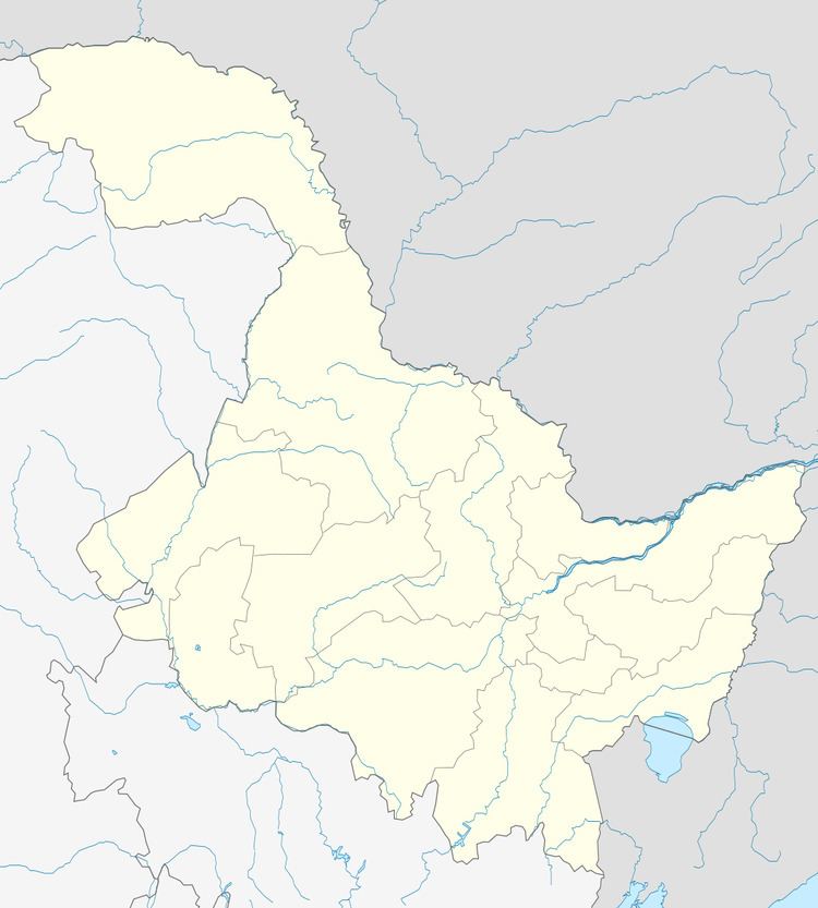 | ||
Country People's Republic of China Harbin district map 1
2
3
4
5
6
Shuangcheng
Hulan
Bayan
County
Mulan
County
Tonghe
County
Yilan
County
Bin
County
Fangzheng
County
Acheng
Yanshou
County
Shangzhi
(city)
Wuchang
(city)
1. Daoli
2. Daowai
3. Songbei
4. Nangang
5. Pingfang
6. Xiangfang Weather 4°C, Wind NW at 18 km/h, 43% Humidity | ||
How to pronounce pingfang district pronouncenames com
Pingfang District (simplified Chinese: 平房区; traditional Chinese: 平房區; pinyin: Píngfáng Qū) is one of nine districts of Harbin, the capital of Heilongjiang province, People's Republic of China, forming part of the city's urban core. The least spacious of Harbin's county-level divisions, it borders the districts of Xiangfang to the north, Acheng to the east, Shuangcheng to the southwest, and Nangang to the west.
Contents
- How to pronounce pingfang district pronouncenames com
- Map of Pingfang Harbin Heilongjiang China
- Economy
- References
Map of Pingfang, Harbin, Heilongjiang, China
It was the headquarters of the Japanese Biological Warfare Unit 731 during the Japanese invasion of China and World War II. It had an airport, railway and dungeons. Most of Pingfang was burnt by the Japanese to destroy evidence but the incinerator where the remains of victims were burnt remains and is still in use as part of a factory. Pingfang is an industrial center of Harbin now. Hafei (a factory producing helicopters, small airplanes, minivans, and cars), Dongan (a factory producing aircraft and automobile engines), and Northeast Light Alloy Processing Plant are the three major manufacturers there.
Economy
Harbin Aircraft Industry Group (Hafei) has its headquarters in the district.