Country Brazil State São Paulo Elevation 527 m (1,729 ft) Area 184.8 km² Local time Sunday 11:19 PM | Region Southeast Region Mesoregion São José do Rio Preto Time zone BRT/BRST (UTC-3/-2) Population 16,342 (2015) | |
 | ||
Weather 22°C, Wind SE at 13 km/h, 83% Humidity | ||
Pindorama ([pĩdoˈɾɐ̃mɐ]) is a municipality in the state of São Paulo, Brazil.
Contents
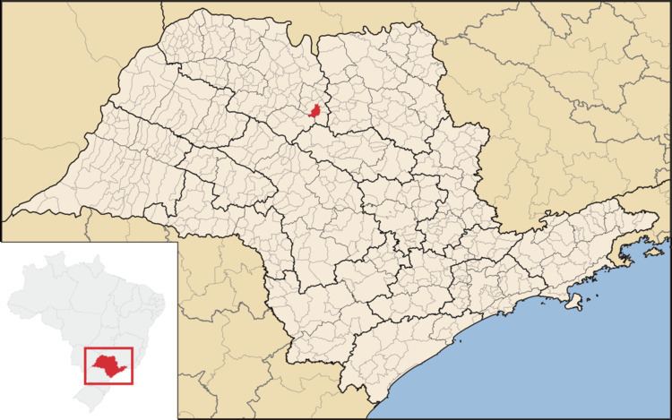
Map of Pindorama, State of S%C3%A3o Paulo, Brazil
Location
The name is Tupi for Land of the Palms, the natives' name for Brazil. The population is 16,342 (2015 est.) in an area of 184.8 km². The municipality contains the 533 hectares (1,320 acres) Pindorama Biological Reserve, a strictly protected conservation unit created in 1986 from a former experimental agricultural station. Pindorama belongs to the Mesoregion of São José do Rio Preto.
Economy
The Tertiary sector corresponds to 57.86% of Pindorama's GDP. The Primary sector is 9.45% of the GDP and the Industry corresponds to 32.70%.
References
Pindorama Wikipedia(Text) CC BY-SA
