
Country United States FIPS code 36-57925 Elevation 451 m Local time Sunday 10:01 PM | State New York Time zone Eastern (EST) (UTC-5) GNIS feature ID 979367 Area 106.4 km² Population 329 (2010) | |
 | ||
Weather -3°C, Wind S at 3 km/h, 66% Humidity | ||
Pinckney is a town in Lewis County, New York, United States. The population was 329 at the 2010 census. The town was named after Thomas Pinckney of South Carolina.
Contents
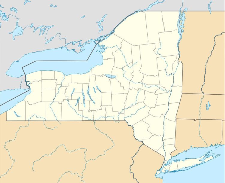
Map of Pinckney, NY, USA
The Town of Pinckney is on the west border of the county and is southeast of Watertown.
History
The town was first settled around 1804.
The town was formed in 1808 from the Towns of Harrisburgh and Rodman (Then called "Harrison" in Jefferson County).
Early settlers were mostly farmers, who later changed to dairy and cheese production due to the snowy climate.
Geography
According to the United States Census Bureau, the town has a total area of 41.1 square miles (106 km2), of which 41.1 square miles (106 km2) is land and 0.1 square miles (0.26 km2) (0.12%) is water.
The western part of the town is surrounded on three sides by Jefferson County.
New York State Route 177 is an east-west highway in the town.
The Deer River flows northward through the southeast part of Pinckney.
Demographics
As of the census of 2000, there were 319 people, 120 households, and 81 families residing in the town. The population density was 7.8 people per square mile (3.0/km²). There were 219 housing units at an average density of 5.3 per square mile (2.1/km²). The racial makeup of the town was 96.55% White, 1.25% African American, 0.63% Native American, 0.31% Asian, and 1.25% from two or more races. Hispanic or Latino of any race were 0.94% of the population.
There were 120 households out of which 35.0% had children under the age of 18 living with them, 57.5% were married couples living together, 7.5% had a female householder with no husband present, and 31.7% were non-families. 20.8% of all households were made up of individuals and 5.8% had someone living alone who was 65 years of age or older. The average household size was 2.66 and the average family size was 3.16.
In the town, the population was spread out with 27.3% under the age of 18, 6.9% from 18 to 24, 29.8% from 25 to 44, 26.0% from 45 to 64, and 10.0% who were 65 years of age or older. The median age was 38 years. For every 100 females there were 103.2 males. For every 100 females age 18 and over, there were 121.0 males.
The median income for a household in the town was $36,146, and the median income for a family was $35,417. Males had a median income of $28,750 versus $23,929 for females. The per capita income for the town was $13,733. About 9.6% of families and 14.0% of the population were below the poverty line, including 22.1% of those under age 18 and 14.7% of those age 65 or over.