
Area 11.91 km² | ||
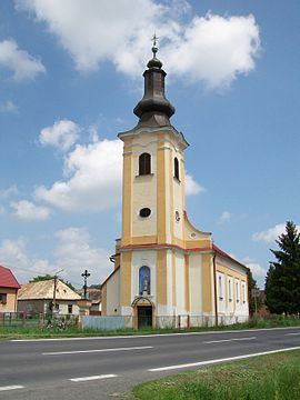 | ||
Pinciná (Hungarian: Pinc) is a village and municipality in Lučenec District in the Banská Bystrica Region of southern central Slovakia.
Contents
Map of 984 01 Pincin%C3%A1, Slovakia
History
In historical records the village was first mentioned in 1326.
Geography
The municipality lies at an altitude of 190 metres and covers an area of 11.917 km². It has a population of about 245 people.
References
Pinciná Wikipedia(Text) CC BY-SA