Elevation 135 m Local time Monday 6:48 AM | Time zone IST (UTC+5:30) Population 17,028 (2001) | |
 | ||
Weather 17°C, Wind W at 5 km/h, 80% Humidity | ||
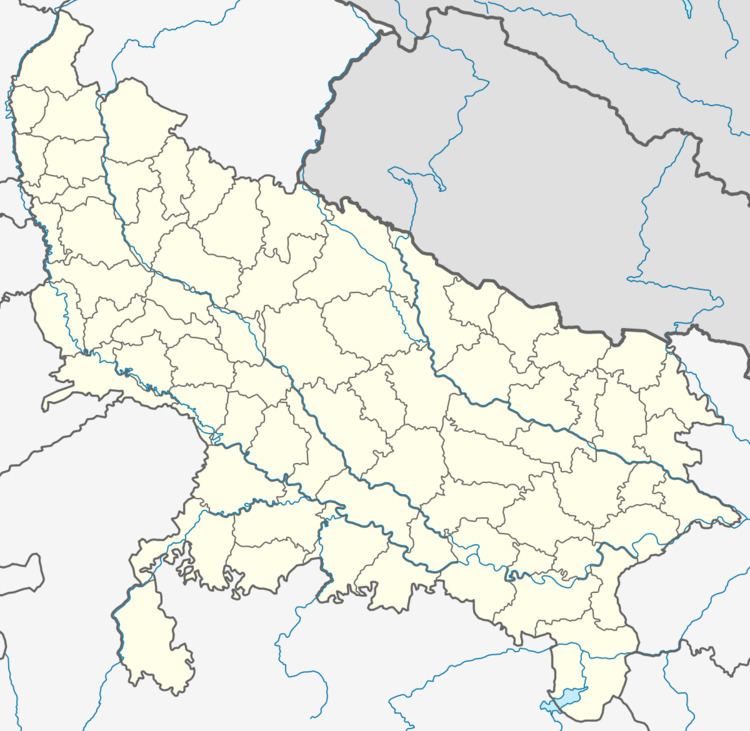
Pinahat (Formerly Shreenagar) is a town and a nagar panchayat in Agra district in the Indian state of Uttar Pradesh and situated on the Bank of Chambal River (The Ghadiyal Sanctuary). On 55 km distance from Agra. There are many adventures to attract tourists in Pinahat. The distance between Pinahat and Chambal is only 2 km.
Contents
Map of Pinahat, Uttar Pradesh 283123
Demographics
At the 2001 India census, Pinahat had a population of 17,028. Males constituted 53% of the population and females 47%. Pinahat had an average literacy rate of 52%, lower than the national average of 59.5%: male literacy was 64%, and female literacy was 39%. In Pinahat, 20% of the population were under 6 years of age.
References
Pinahat Wikipedia(Text) CC BY-SA
