
Time zone CST (UTC-6) Elevation 190 m Local time Sunday 6:25 PM | Established November 6, 1849 ZIP codes 61450, 62318, 62321 Area 95.96 km² Population 280 (2010) | |
 | ||
Weather 14°C, Wind S at 24 km/h, 38% Humidity | ||
Pilot Grove Township is one of twenty-five townships in Hancock County, Illinois, USA. As of the 2010 census, its population was 280 and it contained 131 housing units.
Contents
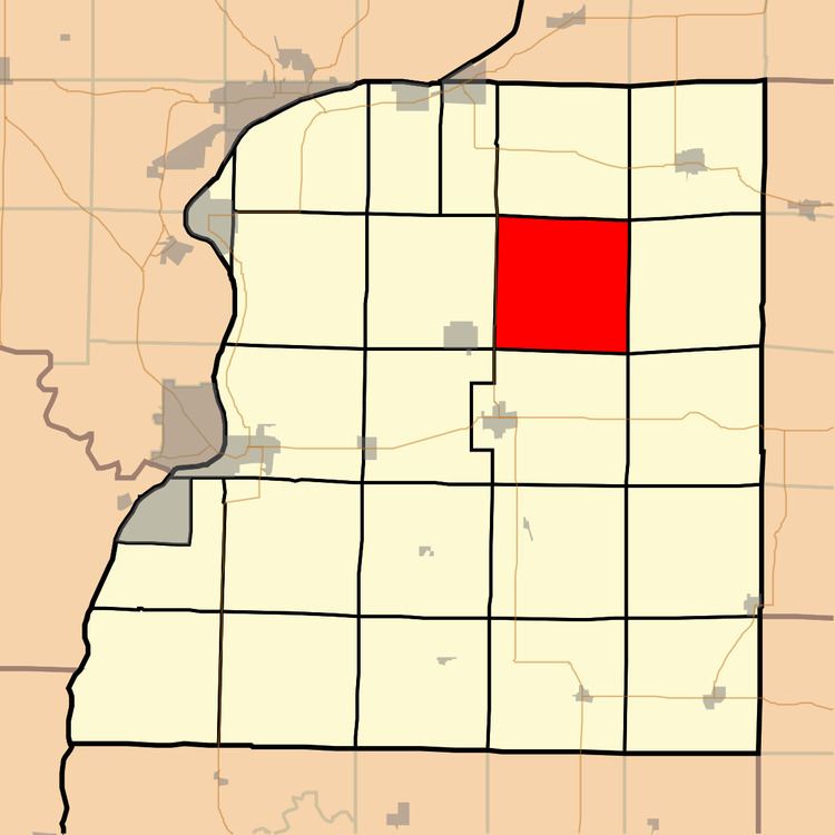
- Map of Pilot Grove Township IL USA
- Geography
- Unincorporated towns
- Cemeteries
- Major highways
- Airports and landing strips
- Lakes
- School districts
- Political districts
- References
Map of Pilot Grove Township, IL, USA
Geography
According to the 2010 census, the township has a total area of 37.05 square miles (96.0 km2), of which 36.97 square miles (95.8 km2) (or 99.78%) is land and 0.08 square miles (0.21 km2) (or 0.22%) is water.
Unincorporated towns
(This list is based on USGS data and may include former settlements.)
Cemeteries
The township contains these two cemeteries: McKay and Pilot Grove.
Major highways
Airports and landing strips
Lakes
School districts
Political districts
References
Pilot Grove Township, Hancock County, Illinois Wikipedia(Text) CC BY-SA