
Time zone IST (UTC+5:30) Elevation 577 m | Demonym(s) Don't know...... PIN 413310 Local time Monday 3:16 AM | |
 | ||
Weather 26°C, Wind NW at 11 km/h, 29% Humidity | ||
Piliv (Marathi: पिलीव) is a village in Tahshil Malshiras in Solapur district in the state of Maharashtra, India.
Contents
- Map of Piliv Maharashtra
- Piliv che yede sairat boys
- Geography
- Demographics
- Nearby places to visit
- References
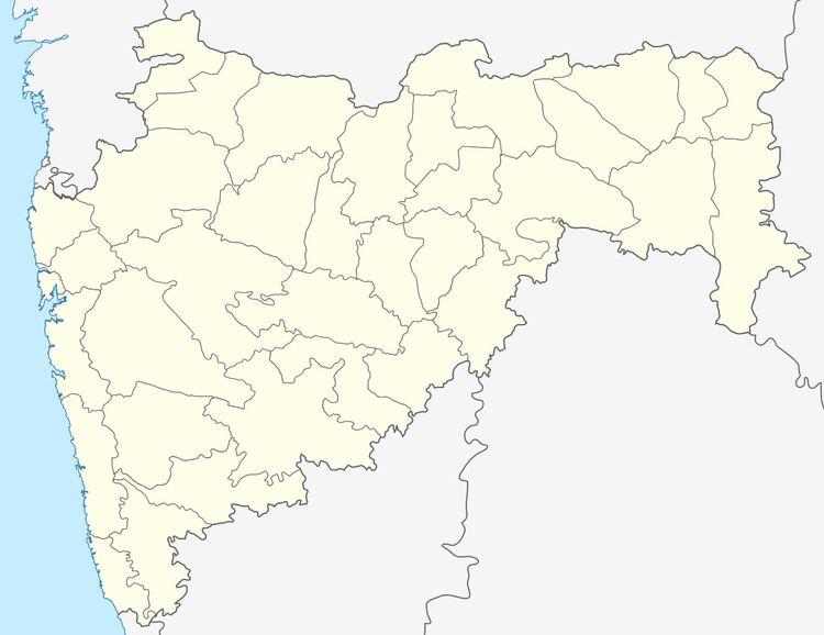
Map of Piliv, Maharashtra
Piliv che yede sairat boys
Geography
Piliv is located on Satara Solapur road, 44 km west of Pandharpur, India. It has an average elevation of 72,964820 sq. metres (785,386,800 sq.feet).
Demographics
As of 2010 India census, Piliv had a population of 6,300. Household population is 1130 and Population in Agriculture is 1682. The spoken language is Marathi.
Nearby places to visit
- Karmveer Bhaurav patil junior college situated on satara pandharpur Road
- Mahalaxmi Temple
- Dattatreya Temple
- Bhuikot Killa Fort
- Vithal Dayaji Temple, Sulewadi
- kalawade
- budh vihar at siddharth nagar Zinjewasti
- Shetakari Sahakari Sakhar karkhana (sugar factory) chandapuri
References
Piliv Wikipedia(Text) CC BY-SA