Elevation 4,032 ft (1,229 m) Width 1.5 mi (2.4 km) N-S | Length 3.2 mi (5.1 km) E-W Country United States | |
 | ||
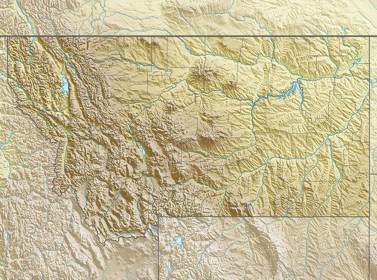
The Pike Creek Hills, are a small range of hills 8.3 miles (13.4 km) west of the community of Flatwillow in Petroleum and Fergus counties in Montana. The highest elevation is an unnamed peak at 4,032 feet (1,229 m) with the stream valleys of Pike Creek to the north and Flatwillow Creek to the south at around 3,500 ft (1,100 m). The east end of the Little Snowy Mountains lie 12 miles (19 km) to the west.
Map of Pike Creek Hills, Montana 59032, USA
References
Pike Creek Hills Wikipedia(Text) CC BY-SA
