
Elevation −2 m (−7 ft) Postcode 2630–2632, 2640–2645 Local time Friday 8:57 PM Area code 015 | Established 1 January 2002 Time zone CET (UTC+1) Area 38.6 km² | |
 | ||
Website www.pijnacker-nootdorp.nl Weather 14°C, Wind SW at 16 km/h, 69% Humidity | ||
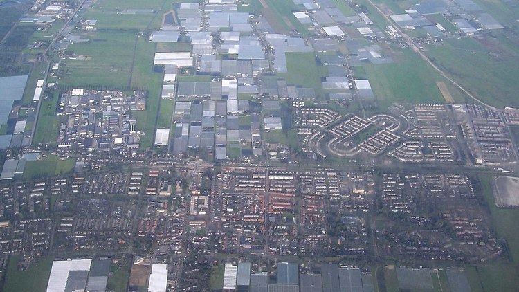
Pijnacker-Nootdorp ([ˈpɛi̯nʔɑkər ˈnoːtdɔrp] population: 51,148 in 2014) is a suburban municipality in the Randstad conurbation in the Netherlands, in the province of South Holland. The municipality covers an area of 38.61 km2 (14.91 sq mi) of which 1.25 km2 (0.48 sq mi) is water.
The municipality of Pijnacker-Nootdorp comprises the following towns, villages and townships: Delfgauw, Nootdorp, Oude Leede, Pijnacker and (parts of) newly built Ypenburg. It is the result of merging the municipalities of Pijnacker and Nootdorp in 2002, with parts being annexed by neighbouring The Hague. It is part of the Haaglanden conurbation centred on The Hague, but it is also close to Delft and Rotterdam.
Nootdorp is connected to The Hague through the Randstadrail public transport system, and also with a tram line.
Dutch Topographic map of the municipality of Pijnacker-Nootdorp, June 2015