
State Washington Time zone PST (UTC−8) Area code(s) 360 Local time Friday 11:05 AM | County Cowlitz ZIP code 98625 Elevation 141 m | |
 | ||
Country United States of America Weather 8°C, Wind NE at 3 km/h, 75% Humidity | ||
Pigeon Springs is an unincorporated community in Cowlitz County, Washington. Pigeon Springs is located east of the city of Kalama and along the Kalama River. Pigeon Springs is reached by traveling 16.8 miles (27.0 km) east on Kalama River Road from exit 32 of Interstate 5. The Pigeon Springs community is part of the Kalama School District, a K-12 school district of about 900 students.
Contents
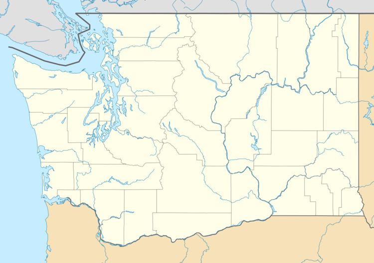
Map of Pigeon Springs, WA 98625, USA
Pigeon Springs is located 22.7 miles (36.5 km) southwest of Mount St. Helens. The eruption of Mount St. Helens on May 18, 1980, was the deadliest and most economically destructive volcanic event in the history of the United States and it even reached the Cowlitz river and pigeon springs.
Geography
Pigeon Springs is located at 46°03′11″N 122°37′26″W (46.0531675, -122.6239926).