
Country United States Area code(s) 218 Elevation 287 m Province Ontario | Time zone Central (CST) (UTC-6) GNIS feature ID 1802954 Local time Friday 1:04 PM | |
 | ||
Weather 9°C, Wind S at 13 km/h, 46% Humidity | ||
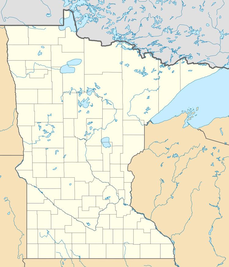
Pigeon River is an unincorporated community in Cook County, Minnesota, United States; located four miles north of the community of Grand Portage.
Map of Pigeon River, ON, Canada
The community is situated on the banks of the Pigeon River, which serves as part of the Canada–United States border.
Pigeon River is located at the intersection of Cook County Road 89 and Joe's Road. The community is near the tip of Minnesota's Arrowhead Region in the extreme northeast part of the state. Pigeon River is located within the Grand Portage Indian Reservation.
The Grand Portage National Monument is nearby.
References
Pigeon River, Minnesota Wikipedia(Text) CC BY-SA