
Country United States GNIS feature ID 508818 Local time Friday 12:51 PM | Time zone Central (CST) (UTC-6) Elevation 225 m | |
 | ||
Weather 12°C, Wind W at 18 km/h, 78% Humidity | ||
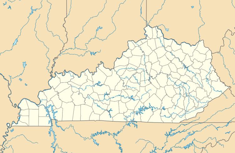
Pig is an unincorporated community in southern Edmonson County, Kentucky, United States. Pig is generally referred to as the area near KY 422, stretching from the road's southern terminus at US 31-W, north along KY 259 towards Rhoda and KY 70 towards Brownsville.
Map of Pig, KY 42171, USA
The town was so named after disputes over which name to choose. A resident stated he saw a small hog on the road. The name of Pig was then accepted.
It is part of the Bowling Green, Kentucky Metropolitan Statistical Area.
The town is approximately 21.2 miles away from Bowling Green, in Warren County.
References
Pig, Kentucky Wikipedia(Text) CC BY-SA