
Area 65 ha Population 77 (2013) | Local time Friday 9:23 AM | |
 | ||
Weather 6°C, Wind NW at 18 km/h, 96% Humidity | ||
Pierpont is a village in Boone County, Missouri (USA). It is part of the Columbia, Missouri Metropolitan Statistical Area. The population was 76 at the 2010 census. The village, located south of Rock Bridge Memorial State Park at Route N and Highway 163, was incorporated in 2004 to avoid annexation by the city of Columbia. It is now an independent village with its own governing board of trustees.
Contents
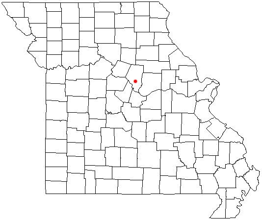
Map of Pierpont, MO, USA
Geography
According to the United States Census Bureau, the village has a total area of 0.25 square miles (0.65 km2), all of it land.
2010 census
As of the census of 2010, there were 76 people, 32 households, and 25 families residing in the village. The population density was 304.0 inhabitants per square mile (117.4/km2). There were 32 housing units at an average density of 128.0 per square mile (49.4/km2). The racial makeup of the village was 97.4% White, 1.3% African American, and 1.3% from two or more races.
There were 32 households of which 25.0% had children under the age of 18 living with them, 75.0% were married couples living together, 3.1% had a male householder with no wife present, and 21.9% were non-families. 18.8% of all households were made up of individuals and 9.4% had someone living alone who was 65 years of age or older. The average household size was 2.38 and the average family size was 2.72.
The median age in the village was 54.3 years. 19.7% of residents were under the age of 18; 4% were between the ages of 18 and 24; 14.4% were from 25 to 44; 35.5% were from 45 to 64; and 26.3% were 65 years of age or older. The gender makeup of the village was 52.6% male and 47.4% female.