
Country United States Time zone CST (UTC-6) Area 90.93 km² Local time Friday 8:58 AM | Established Prior to 1853 Elevation 245 m Population 454 (2010) | |
 | ||
ZIP codes 60115, 60119, 60151, 60520 Weather 3°C, Wind N at 24 km/h, 93% Humidity | ||
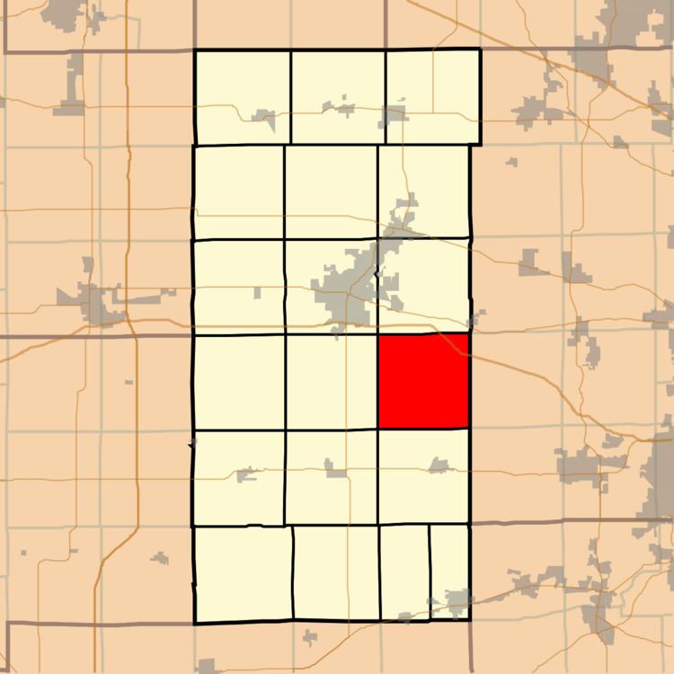
Pierce Township is one of nineteen townships in DeKalb County, Illinois, USA. As of the 2010 census, its population was 454 and it contained 187 housing units. Pierce Township was formed from Squaw Grove and Pampas Township before 1853.
Contents
- Map of Pierce Township IL USA
- Geography
- Cities towns villages
- Cemeteries
- School districts
- Political districts
- References
Map of Pierce Township, IL, USA
Geography
According to the 2010 census, the township has a total area of 35.11 square miles (90.9 km2), of which 35.03 square miles (90.7 km2) (or 99.77%) is land and 0.09 square miles (0.23 km2) (or 0.26%) is water.
Cities, towns, villages
Cemeteries
The township contains these two cemeteries: Community Methodist and Saint Marys.
School districts
Political districts
References
Pierce Township, DeKalb County, Illinois Wikipedia(Text) CC BY-SA