
Time zone CST (UTC-6) Area 90.88 km² Population 2,802 (2010) | Established November 6, 1849 Elevation 235 m Local time Thursday 12:08 PM | |
 | ||
ZIP codes 60119, 60511, 60520, 60548, 60552 Weather 6°C, Wind NE at 18 km/h, 94% Humidity | ||
Squaw Grove Township is one of nineteen townships in DeKalb County, Illinois, USA. As of the 2010 census, its population was 2,802 and it contained 1,123 housing units.
Contents
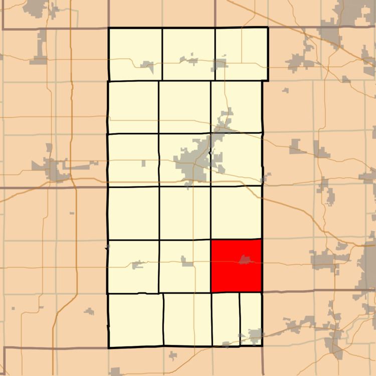
- Map of Squaw Grove Township IL USA
- Geography
- Cities towns villages
- Cemeteries
- Airports and landing strips
- School districts
- Political districts
- References
Map of Squaw Grove Township, IL, USA
Geography
According to the 2010 census, the township has a total area of 35.09 square miles (90.9 km2), of which 34.92 square miles (90.4 km2) (or 99.52%) is land and 0.17 square miles (0.44 km2) (or 0.48%) is water.
Cities, towns, villages
Cemeteries
The township contains these three cemeteries: Greenwood, Immauel Lutheran and Miller.
Airports and landing strips
School districts
Political districts
References
Squaw Grove Township, DeKalb County, Illinois Wikipedia(Text) CC BY-SA