
Altitude 2,611 m (8,566 ft) Phone +57 319 2407090 | Type Rock art Satellite of Bogotá | |
 | ||
Address Cl. 5, Facatativá, Cundinamarca, Colombia Hours Open today · 5–8AM, 9AM–5PMFriday5–8AM, 9AM–5PMSaturday5–8AM, 9AM–5PMSunday5–8AM, 9AM–5PMMondayClosedTuesday5–8AM, 9AM–5PMWednesday5–8AM, 9AM–5PMThursday5–8AM, 9AM–5PMSuggest an edit Similar | ||
Sky zoom parque piedras del tunjo facatativ desde un drone
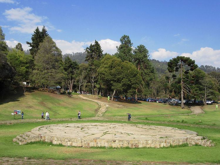
Piedras del Tunjo (Spanish for "Tunjo Stones") is an important archaeological park established on a natural rock shelter 40 kilometres (25 mi) west of Bogotá in the city of Facatativá.
Contents
- Sky zoom parque piedras del tunjo facatativ desde un drone
- Description
- Destruction of the ancient pictographs
- References
Description
In the Late Pleistocene, the site used to be the shore of a large lake flooding the Bogotá savanna; Lake Humboldt. It was used by the Muisca rulers as a refuge during the time of the Spanish conquest. The site is one of the possible places where the soldiers of Gonzalo Jiménez de Quesada killed the ruling zipa Tisquesusa in April 1537.
The rocks are covered with pictographs made by Muisca artists on rocks of the Guadalupe Group. Their age has not been confirmed. The area of the park used to be an hacienda, property of a wealthy family since colonial times. It was nationalized in 1946 to establish the park.
Destruction of the ancient pictographs
Decades of government negligence and lack of policies for the protection of archaeological heritage have resulted in the destruction of most of the ancient paintings.