
Elevation 2,165 m (7,103 ft) Province Province of Jaén | Prominence 1,135 m (3,724 ft) First ascent ancestral Easiest route Hiking | |
 | ||
Similar Pico Miramundos, Pico Almadén, La Maroma, Jabalcuz, Cerro Calderón | ||
Pico Mágina is a 2,165-metre-high (7,103 ft) mountain in Spain.
Contents
Map of Pico M%C3%A1gina, 23569, Ja%C3%A9n, Spain
Geography
The mountain is located in Jaén Province, in the northern part of the autonomous community of Andalusia. It's the highest peak of the province and also of Sierra Mágina, and is located on the border between the municipalities of Albanchez de Mágina and Huelma.
Access to the summit
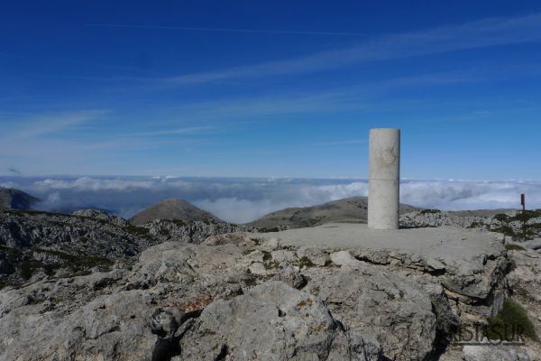
The summit can be accessed by hiking trails. The walk up to the summit is quite long: the first part follows a dirt road and the last one a hiking path through rocky terrain.
Nature conservation
The mountain and most of its chain are included from 1989 in the Parque Natural de Sierra Mágina.
References
Pico Mágina Wikipedia(Text) CC BY-SA