
Country United States Time zone Central (CST) (UTC-6) Elevation 496 m Area code 701 | Organized circa 1920 FIPS code 38-62300 Local time Friday 5:11 AM | |
 | ||
Weather 3°C, Wind E at 13 km/h, 95% Humidity Area 92.13 km² (92.1 km² Land / 3 ha Water) | ||
Pickering Township is a civil township in Bottineau County in the U.S. State of North Dakota. Its population was 193 as of the 2010 census, down from 213 at the 2000 census.
Contents
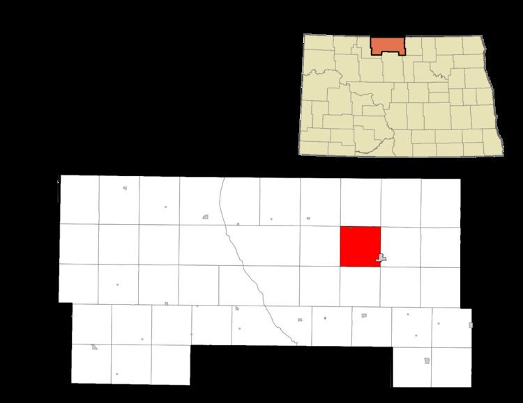
Map of Pickering, ND, USA
History
Pickering Township was organized sometime between 1910 and 1920 from Vinge School Township and the western portion of Bottineau School Township.
Reportedly, in 1883, Norwegian settlers from Polk County, Minnesota, established the first Norwegian settlement in Bottineau County near Carbury in present-day Pickering Township. Other Norwegians followed in 1886.
Geography
Pickering Township is located in Township 162N, Range 76W. North Dakota Highway 14 is a primary highway in the township, and the city of Bottineau, which is the county seat, is located in the southeast corner of the township.
According to the 2010 United States Census, the township has a total area of 35.570 square miles (92.13 km2), of which 35.557 square miles (92.09 km2) is land and 0.013 square miles (0.03 km2) is water.
Carbury Dam is a public fishing area located 1 mile (1.6 km) south and 1 mile (1.6 km) west of Carbury. It is managed by the North Dakota Game and Fish Department.