
Easiest route class 3 scramble Prominence 2,120 m | Topo map H11B45 San Rafael Elevation 3,096 m | |
 | ||
Listing North America prominent peaks 79thNorth America isolated peaks 61stDPS Emblem Mountain range Sierra de San Pedro Mártir Parent range Sierra de San Pedro Mártir Similar Tres Virgenes, Montgomery Peak, Hayford Peak, Arc Dome, Ruby Dome | ||
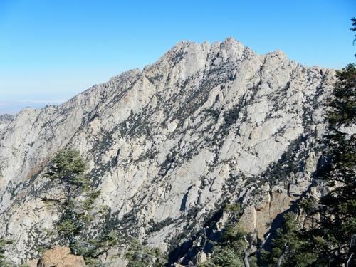
Picacho del diablo day 1
Picacho del Diablo is the highest peak on the Baja California peninsula, measuring 3,096 metres (10,157 ft). It is alternately called Cerro de la Encantada, "Hill of the Enchanted." The peak is located in the Sierra de San Pedro Mártir, part of the Peninsular Ranges, in the Mexican state of Baja California.
Contents
- Picacho del diablo day 1
- Map of Picacho Del Diablo Baja California Mexico
- Picacho del diablo 10 157 the devil s peak
- References
Map of Picacho Del Diablo, Baja California, Mexico
Picacho del diablo 10 157 the devil s peak
References
Picacho del Diablo Wikipedia(Text) CC BY-SA