
Easiest route Versant E (PD) First ascent 1878 | Elevation 3,880 m | |
 | ||
Similar Grande Ruine, Pic de Neige Cordier, Le Râteau, Pic Sans Nom, Aiguille de Leschaux | ||
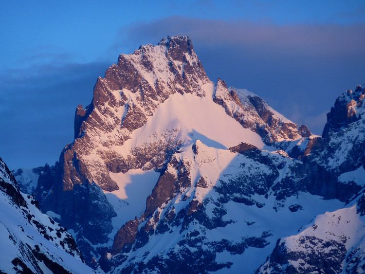
Pic Gaspard (3,883 m) is a mountain in the French Alps, one of the tallest in the Massif des Écrins. It was named in honor of the celebrated L'Oisans guide Pierre Gaspard, conqueror of La Meije on 16 August 1877 in the company of Emmanuel Boileau de Castelnau.
Map of Pic Gaspard, 05480 Villar-d'Ar%C3%AAne, France
Pic Gaspard was climbed for the first time in 1878 by Henry Duhamel, along with Pierre Gaspard and his eldest son, and Christophe Roderon, by a route that has become the normal one. Subsequently, several routes were opened including the south-southeast arête conquered by Lucien Devies and Giusto Gervasutti in 1935, and that of the north face defeated by Albert Tobey and Louis Berger in 1948.
References
Pic Gaspard Wikipedia(Text) CC BY-SA