
Country Thailand Time zone THA (UTC+7) Geocode 7307 Province Nakhon Pathom Province | Seat Sala Ya Postal code 73170 Area 52.3 km² | |
 | ||
Weather 27°C, Wind S at 8 km/h, 87% Humidity Colleges and Universities Mahidol University, Rajamangala University of Techno, Mahidol University Internatio, Mahamakut Buddhist University, Kantana Institute | ||
Phutthamonthon (Thai: พุทธมณฑล; [pʰút.tʰā.mōn.tʰōn]) is a district (Amphoe) in the east of Nakhon Pathom Province, central Thailand.
Contents
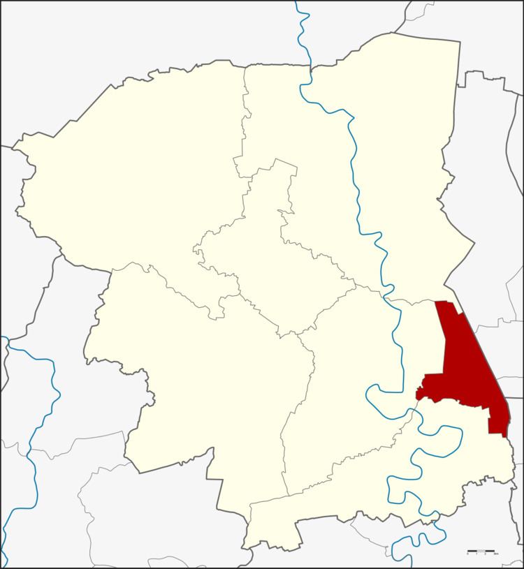
- Map of Phutthamonthon District Nakhon Pathom Thailand
- Geography
- History
- Buildings
- Administration
- References
Map of Phutthamonthon District, Nakhon Pathom, Thailand
Geography
Neighboring districts are (from the north clockwise) Bang Len, the districts Sai Noi, Bang Yai and Bang Kruai of Nonthaburi Province, the district Thawi Watthana of Bangkok, and Sam Phran and Nakhon Chai Si.
History
The minor district (King Amphoe) was created on April 1, 1991, when three tambon were split off from Nakhon Chai Si district. It was upgraded to a full district on December 5, 1996.
Buildings
The most important building in the district is the Phutthamonthon park, a 40 ha buddhist park. The district was named after the park.
One of the three campuses of Mahidol University is also located in Salaya.
Administration
The district is subdivided into 3 subdistricts (tambon), which are further subdivided into 18 villages (muban). Salaya has township (thesaban tambon) status and covers parts of the tambon Salaya. Each of the tambon is administrated by a tambon administrative organization (TAO).