
Area 163.6 km² | Time zone BST (UTC+6) | |
 | ||
Website Official Map of Phulbari | ||
Phulbari (Bengali: ফুলবাড়ী) is an Upazila of Kurigram District in the Division of Rangpur, Bangladesh.
Contents
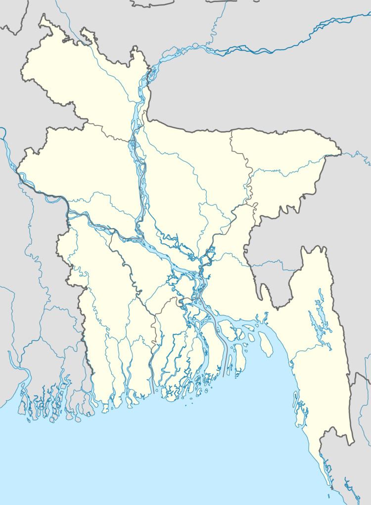
Map of Phulbari Upazila, Bangladesh
Geography
Phulbari is located at 25.9500°N 89.5667°E / 25.9500; 89.5667 . It has 25236 households and total area 163.63 km².
It is 8 km east of Lalmonirhat town, and was separated from Lalmonirhat District by Dharla River. Llmonirhat is connected by Koolaghaat-Shonaikazi river crossing on Dharla river.
It is 28 km northwest of Kurigram town.
Demographics
As of the 1991 Bangladesh census, Phulbari has a population of 129,668. Males constitute 50.49% of the population, and females 49.51%. This Upazila's population over the age of eighteen is 62,699. Phulbari has an average literacy rate of 24% (7+ years), and the national average of 32.4% literate.
Administration
Phulbari has 6 Unions/Wards, 50 Mauzas/Mahallas, and 165 villages. The name of the Chairman is Md. Najr Hossain