
Country Thailand Time zone THA (UTC+7) Area 621.6 km² Province Khon Kaen Province | Seat Phu Wiang Postal code 40150 Population 71,597 (2008) Geocode 4016 | |
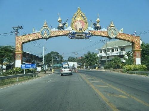 | ||
Phu Wiang (Thai: ภูเวียง, [pʰūː wīa̯ŋ]) is a district (Amphoe) in the northwestern part of Khon Kaen Province, northeastern Thailand.
Contents
Map of Phu Wiang District, Khon Kaen, Thailand
Geography
Neighboring districts are (from the northeast clockwise) Ubolratana, Nong Ruea, Chum Phae, Wiang Kao, Nong Na Kham of Khon Kaen Province and Non Sang of Nongbua Lamphu Province.
A prehistoric Iron Age archaeological site, None Nok Tha (โนนนกทา) is located in the district, as is the Phu Wiang National Park[1].
Administration
The district is subdivided into 11 subdistricts (tambon), which are further subdivided into 114 villages (muban). Phu Wiang is a subdistrict municipality (thesaban tambon) and covers parts of tambon Phu Wiang. There is further 11 Tambon administrative organizations (TAO).
Missing numbers are tambon which now form the districts Wiang Kao and Nong Na Kham.