
Country Thailand Postal code 55000 Population 35,535 (2009) Geocode 5514 | Time zone THA (UTC+7) Area 508.2 km² Province Nan Province | |
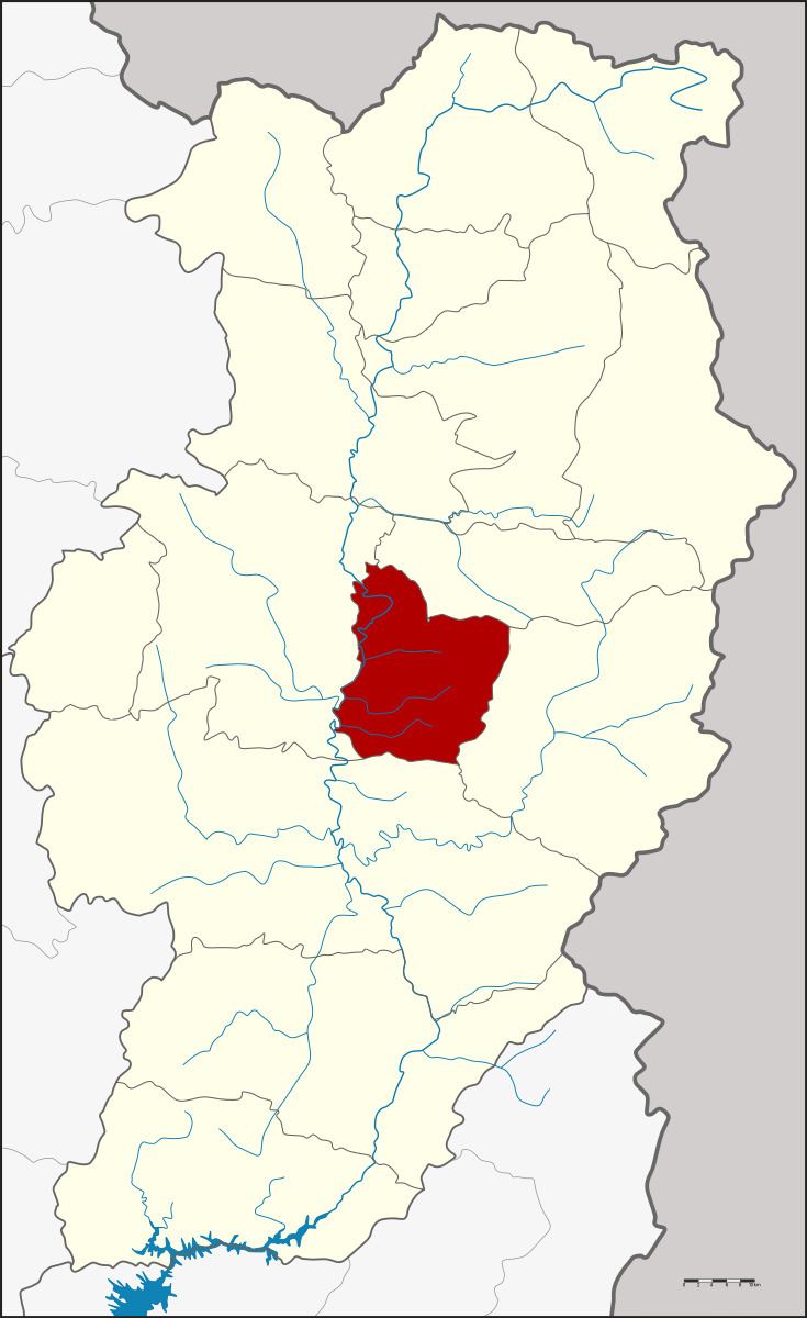 | ||
Phu Phiang (Thai: ภูเพียง, [pʰūː pʰīa̯ŋ]) is a district (Amphoe) in the central part of Nan Province, northern Thailand.
Contents
Map of Phu Phiang District, Nan 55000, Thailand
History
The area was separated from Mueang Nan district to create a minor district (King Amphoe) on July 1, 1997.
Following a decision of the Thai government on May 15, 2007, all of the 81 minor districts were to be upgraded to full districts. With the publishing in the Royal Gazette on August 24 the upgrade became official .
Etymology
The name Phu Phiang comes from the name of Phu Phiang mountain, which has the That Chae Haeng positioned on the top.
Geography
Neighboring are (from the north clockwise) Santi Suk, Mae Charim, Wiang Sa and Mueang Nan of Nan Province.
The eastern part of the district is in the Luang Prabang Range mountain area of the Thai highlands.
Administration
The district is subdivided into 7 subdistricts (tambon), which are further subdivided into 61 villages (muban). There are no municipal (thesaban) areas, and 7 Tambon administrative organizations (TAO).