
Country Thailand Time zone ICT (UTC+7) Area 213.8 km² Province Phayao Province | Seat Huai Kaeo Postal code 56000 Population 22,659 (2005) Geocode 5609 | |
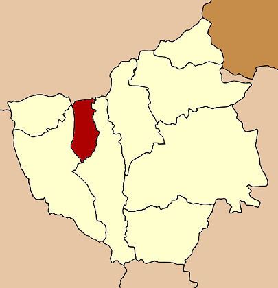 | ||
Phu Kamyao (Thai: ภูกามยาว; [pʰūː kāːm.jāːw]) is a district (amphoe) of Phayao Province in northern Thailand.
Contents
Map of Phu Kamyao District, Phayao, Thailand
Geography
Neighboring districts are (from the north clockwise) Pa Daet of Chiang Rai Province, Dok Khamtai and Mueang Phayao and Mae Chai of Phayao Province.
The mountains of the Phi Pan Nam Range dominate the landscape of the district.
History
The minor district was established on 1 July 1997, when it was split off from Mueang Phayao District.
The Thai government on 15 May 2007, upgraded all of 81 minor districts to full districts. With publication in the Royal Gazette on 24 August the upgrade became official.
Administration
The district is divided into three sub-districts (tambon), which are further subdivided into 40 villages (muban). Dong Chen is a township (thesaban tambon) which covers parts of tambon Dong Chen and Mae Ing. There are a further three tambon administrative organization (TAO).