
Country Thailand Time zone THA (UTC+7) Area 321.5 km² Geocode 8002 | Seat Phrommalok Postal code 80320 Population 36,906 (2012) | |
 | ||
Province Nakhon Si Thammarat Province Points of interest Phrom Lok Waterfall, Wat Khao Khun Phanom, The Khao Khun Phanom, Wang Lung Waterfall, Ban Plai Uan | ||
Phrom Khiri (Thai: พรหมคีรี) is a district (Amphoe) of Nakhon Si Thammarat Province, southern Thailand.
Contents
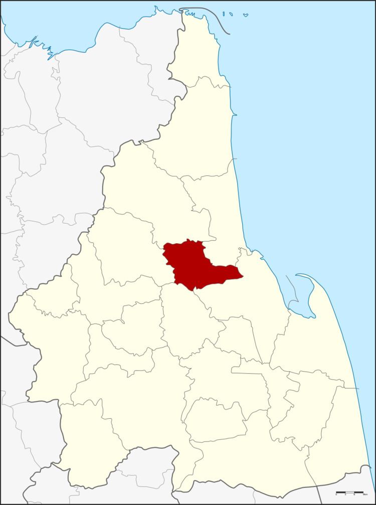
Map of Phrom Khiri District, Nakhon Si Thammarat, Thailand
History
On August 26, 1974 the minor district (King Amphoe) Phrom Khiri was formed with the three tambon Phrom Lok, Ban Ko and In Khiri split from Mueang Nakhon Si Thammarat district. On July 13, 1981 it was upgraded to a full district.
Geography
Neighboring districts are (from the north clockwise) Nopphitam, Tha Sala, Mueang Nakhon Si Thammarat, Lan Saka and Phipun.
Administration
The district is subdivided into 5 subdistricts (tambon), which are further subdivided into 39 villages (muban). There are two townships (thesaban tambon) - Phrom Lok covers parts of the tambon Phrom Lok and Ban Ko, and Thon Hong part of the same-named tambon. Each of the tambon has its non-municipal area administrated by a Tambon administrative organization (TAO).