
Time zone THA (UTC+7) Area 130.6 km² Geocode 1401 | Seat Ho Rattanachai Postal code 13000 Province Phra Nakhon Si Ayutthaya | |
 | ||
University Laboratory School of Phranakhon Si Ayutthaya Rajabhat University Points of interest Wat Phra Sri Sanphet, Wat Chaiwatthanaram, Wat Mahathat, Wat Yai Chai Mongkhon, Wat Phanan Choeng | ||
Phra Nakhon Si Ayutthaya (Thai: พระนครศรีอยุธยา; [pʰráʔ náʔkʰɔ̄ːn sǐː ʔājúttʰājāː]) is the capital district (Amphoe Mueang) of Phra Nakhon Si Ayutthaya Province, central Thailand. Its former name as the capital city of Ayutthaya Kingdom was "Krungthep Thawarawadi Si Ayutthaya" (Thai: กรุงเทพทวารวดีศรีอยุธยา).
Contents
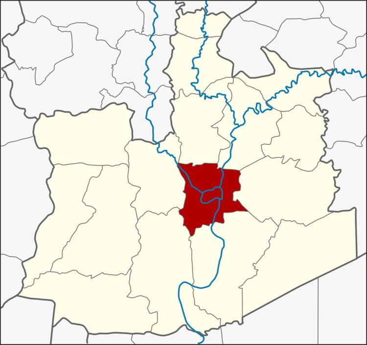
- Map of Phra Nakhon Si Ayutthaya District Phra Nakhon Si Ayutthaya Thailand
- History
- Geography
- Administration
- References
Map of Phra Nakhon Si Ayutthaya District, Phra Nakhon Si Ayutthaya, Thailand
History
According to George Coedes, tradition states Ramathibodi I founded Dvaravati Sri Ayudhya in 1350.
Created in 1897, the district was originally called Rop Krung (รอบกรุง). The district name was changed to Krung Kao (กรุงเก่า) in 1917. In 1957 the name was changed to Phra Nakhon Si Ayutthaya. to commemorate the old capital city of the Ayutthaya kingdom. This makes it unique among Thailand's capital districts, the rest of which are named Amphoe Mueang followed by the name of province.
Geography
Neighboring districts are (from the north clockwise) Bang Pahan, Nakhon Luang, Uthai, Bang Pa-in, Bang Sai and Bang Ban.
Administration
The district is subdivided into 21 subdistricts (tambon). In addition to the city (thesaban nakhon) of Ayutthaya there are other municipal areas. Ayothaya is a town (thesaban mueang) which covers part of the tambon Phai Ling, Hantra and Khlong Suan Phlu.