
Country Thailand Time zone ICT (UTC+7) Website ayutthaya.go.th | Province Ayutthaya Area code(s) 035 | |
 | ||
Ayutthaya (full name Phra Nakhon Si Ayutthaya, Thai: พระนครศรีอยุธยา, [pʰráʔ na.kʰɔ̄ːn sǐː ʔa.jút.tʰa.jāː]; also spelled "Ayudhya") is the former capital of Phra Nakhon Si Ayutthaya province in Thailand. Located in the valley of the Chao Phraya River, the city was founded in 1351 by King U Thong, who went there to escape a smallpox outbreak in Lop Buri and proclaimed it the capital of his kingdom, often referred to as the Ayutthaya kingdom or Siam. Ayutthaya became the second Siamese capital after Sukhothai. It is estimated that Ayutthaya by the year 1600 CE had a population of about 300,000, with the population perhaps reaching 1,000,000 around 1700 CE, making it one of the world's largest cities at that time, when it was sometimes known as the "Venice of the East".
Contents
- Map of Phra Nakhon Si Ayutthaya Phra Nakhon Si Ayutthaya District Phra Nakhon Si Ayutthaya Thailand
- Etymology
- Geography
- Ayutthaya Town Centre
- In fiction
- References
Map of Phra Nakhon Si Ayutthaya, Phra Nakhon Si Ayutthaya District, Phra Nakhon Si Ayutthaya, Thailand
In 1767, the city was destroyed by the Burmese army, resulting in the collapse of the kingdom. The ruins of the old city are preserved in the Ayutthaya historical park, which is recognised internationally as a UNESCO World Heritage Site. The ruins, characterised by the prang (reliquary towers) and gigantic monasteries, give an idea of the city's past splendour. Modern Ayutthaya was refounded a few kilometres to the east.
Etymology
Ayutthaya is named after the city of Ayodhya in India, the birthplace of Rama in the Ramayana (Thai, Ramakien); phra (from Khmer: ព្រះ Preah) is a Thai royal and noble title; nakhon designates an important or capital city (from Sanskrit: Nagar); the Thai honorific sri or si is from the Indian term of veneration Sri.
Geography
The city is about 40 miles (64 km) north of Bangkok.
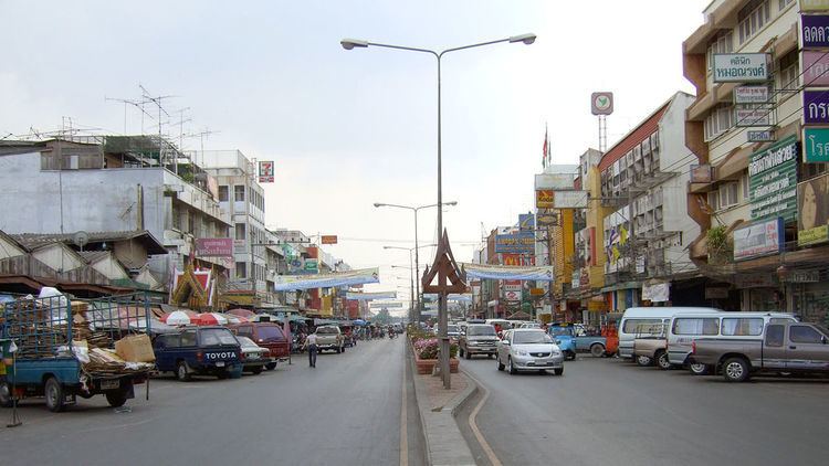
Ayutthaya Town Centre
The city is located at the junction of the Chao Phraya, Lopburi and Pa Sak rivers, and on the main north-south railway linking Chiang Mai to Bangkok. The old city is on an island formed by a bend of the Chao Phraya on the west and south sides, the Pa Sak on the east side and the Klong Muang canal on the northern side.
The approximate centre of the old city is 14°20′N 100°34′E.