
Country Thailand Time zone THA (UTC+7) Area 102.5 km² Province Nong Khai Province | Seat Pho Tak Postal code 43130 Population 14,886 (2005) Geocode 4317 | |
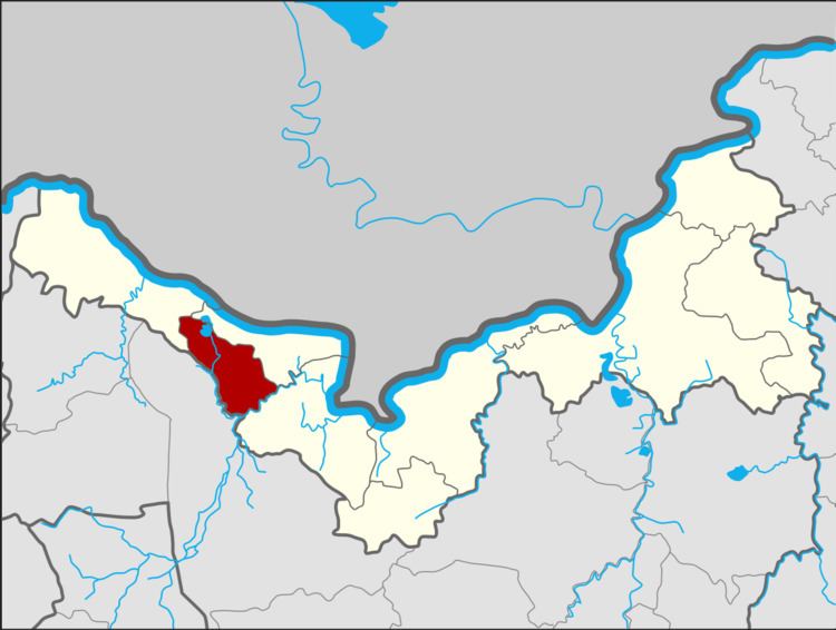 | ||
Pho Tak (Thai: โพธิ์ตาก) is a district (Amphoe) of Nong Khai Province, northeastern Thailand.
Contents
Map of Pho Tak District, Nong Khai, Thailand
Geography
Neighboring districts are (from the west clockwise) Sangkhom, Si Chiang Mai and Tha Bo of Nong Khai Province, and Ban Phue of Udon Thani Province.
History
The minor district (King Amphoe) was created on July 1, 1997 by splitting off the three tambon Pho Tak, Phon Thong and Dan Si Suk from Si Chiang Mai district.
Following a decision of the Thai government on May 15, 2007, all of the 81 minor districts were to be upgraded to full districts. With the publishing in the Royal Gazette on August 24 the upgrade became official.
Administration
The district is subdivided into 3 subdistricts (tambon), which are further subdivided into 27 villages (muban). There are no municipal (thesaban) areas, and 3 Tambon administrative organizations (TAO).