
Country Thailand Time zone THA (UTC+7) Area 301 km² Province Ubon Ratchathani Province | Seat Pho Sai Postal code 34340 Population 42,142 (2005) Geocode 3421 | |
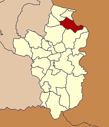 | ||
Pho Sai (Thai: โพธิ์ไทร) is a district (Amphoe) in the northeastern part of Ubon Ratchathani Province, northeastern Thailand.
Contents
Map of Pho Sai District, Ubon Ratchathani, Thailand
History
A group of people from Khemarat district moved to Ban Klang and Ban Nong Khun in 1820. They named their new town Ban Pho Sai.
The minor district (King Amphoe) was created on May 5, 1981, when the three tambon Pho Sai, Muang Yai and Samrong were split off from Khemarat district. It was upgraded to a full district on August 12, 1987.
Etymology
Pho and Sai trees are kinds of Ficus species that grow in Wat Si Bunrueang.
Geography
Neighboring districts are (from the southeast clockwise) Si Mueang Mai, Trakan Phuet Phon, Kut Khaopun, Khemarat and Na Tan. To the northeast across the Mekong river are the Laotian provinces of Salavan.
Administration
The district is subdivided into 6 subdistricts (tambon), which are further subdivided into 68 villages (muban). Pho Sai is a township (thesaban tambon) which covers parts of tambon Pho Sai. There are further 6 Tambon administrative organizations (TAO,all part of Ubon Ratchathani Province. The largest sub district is Pho Sai.